Heavy Rain and Flash Flooding
Model. Analyse. Act.
Risk maps for intense rainfall are the most important basis for construction measures for reducing the risk of flooding, contingency planning and crisis management. We use a wide variety of support programmes, guidelines and handbooks for protection against climate change, especially on the subjects of intense rainfall and flash floods.
We use all available information sources, from quick analysis to detailed risk evaluation, to create individual solutions for you – beginning with planning protective measures to the implementation of management tools.
The goal is to protect life and limb and to prevent or minimise damage from future intense rainfall and flash floods as much as possible. We are available to you for consultation throughout the entire process.
Our German Association for Water, Wastewater and Waste experts for intense rainfall prevention and our municipal water management engineers are happy to help you:
Flow path analysis and site risk assessment
The programmes used by HPC AG allow a variation of rainfall amounts and, at the same time, visualise the at-risk areas in the site and surroundings. A flow path analysis and evaluation of the catchment area round out the intense rainfall risk assessment.
In the event of a risk from intense rainfall, detailed modelling can be decided on in the next step. In addition, the effects of compensation measures in the area around the site, such as rainwater retention basins, can be evaluated in advance.
Development of 2D flow models based on digital terrain models
Digital terrain models – the basis
HPC AG selects the appropriate baseline data for every issue and, if necessary, enhances the existing terrain model with laser scanning, drone overflights or classic surveying.
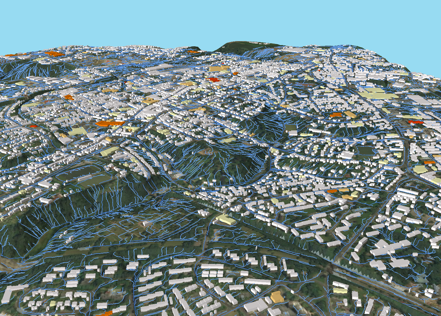
Hydrodynamic 2D surface calculations are required for realistic evaluations; in some cases, a coupled evaluation is also a good idea. This means coupling the hydrodynamic 2D surface calculation with a 1D calculation in existing culverts or municipal sewers. Then, water in the model can flow into, but also out of sewers onto the surface, an overflow can occur in the sewer or manhole covers can lift under pressure (cf. accompanying video).
Surface run-off can be generated from areal precipitation, rain radar data and surface run-off parameters (SRP). Soil-specific seepage losses reduce the precipitation on the ground surface from which the drainage occurs. Surface roughness
specific to the use slows drainage. In short: In the event of intense rainfall or flooding events, the actual conditions, including possible interactions, can be depicted in the required precision with the right tools.
Video animations and clear 3D views of models and events (see accompanying example) support our customers and their employees in gaining an idea of the risks to be expected.
Simulation and heavy rain risk map
It can happen anywhere in Germany, cause high material damage and pose a serious risk to life and limb. There is no protection against the risk of extreme weather, which includes intense rainfall events. But every city, every community and every citizen can take precautions.
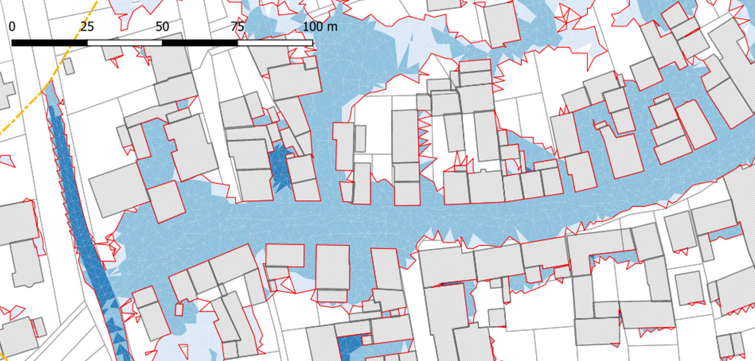
The basis for such simulation models is the digital terrain model with topography, land use, surface condition and other parameters. Using a two-dimensional, hydrodynamic numeric surface run-off model, the drainage routes, flood extents, speeds and flood depths are calculated. The result is intense rainfall risk maps.
The intense rainfall risk map (IRRM) is the first building block of municipal intense rainfall risk management (IRRM). Intense rainfall risk maps from HPC AG answer the questions:
- What are the water’s flow paths?
- How fast will it flow?
- What water depths will occur?
- Which buildings and areas will be affected by flooding?
What might happen?
If there is flooding due to intense rainfall, it is important to know how high the water will be. At a flood depth of only 10 cm, water can make its way into a building through light wells and leaky basement windows. Staying in flooded basement rooms is potentially deadly. At flood depths of over 50 cm, the static pressure rises so strongly that seals fail, especially for doors that open inward. Water levels and flow speeds can be read from the intense rainfall risk maps. For example, at a water depth of 15–20 cm, doors can no longer be opened inward. There is already a risk to life and limb (adults) at a flow speed of 0.5 m/s (ca. 1.8 km/h).
Risk Analysis
Risk management minimises negative consequences
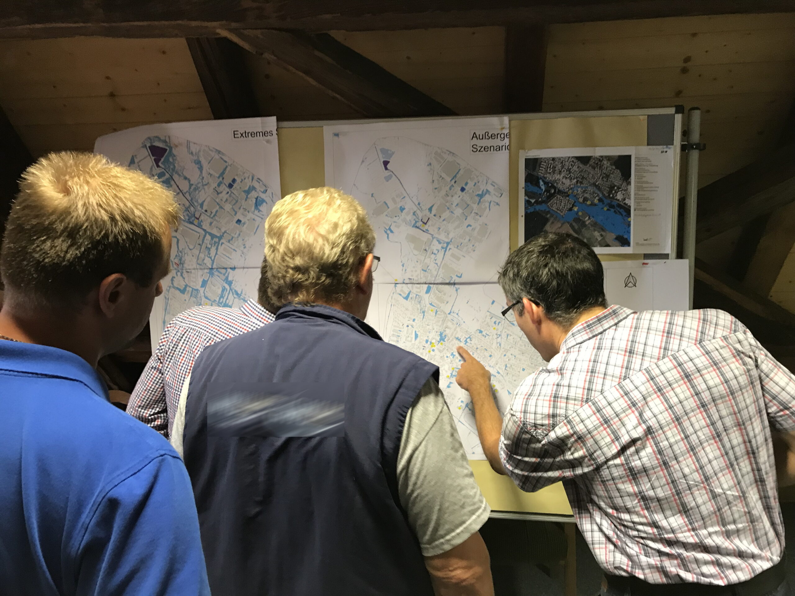
The intense rainfall risk map (IRRM) is the key element in describing danger and identifying risks. As part of municipal intense rainfall risk management (IRRM), trouble spots are identified in consultation with the fire brigade and construction facilities.
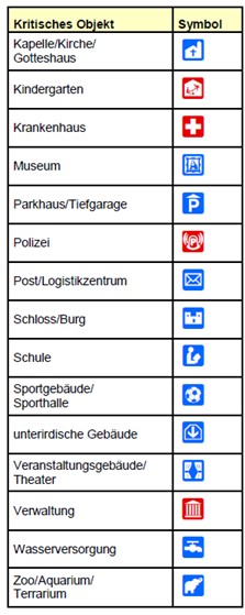
The flooding depths and flow speeds on the property are used to determine the danger. Then it is a matter of blending the flood zones with the properties at risk. The results of the flood risk are compiled with possible damages and vulnerabilities. Areas and properties especially at risk must be identified: How high is the potential damage? Is there a nursery school in the flood zone?
As if using a magnifying glass, property‐related risk analysis can take place on the building level. This detailed analysis examines the risk to the building (e.g. possible water penetration, effect on technical infrastructure and people) and the vulnerability of the property at risk. Risk estimation and site-appropriate recommendations for preventative measures round out the risk fact sheet.
Hazard prevention
Site-appropriate emergency plans can save lives in the event of flooding. As part of the structural measures, dams, terrain modelling or protective walls, for example, can be placed at appropriate places in the terrain. If the water cannot be diverted or retained, property protection comes into play. Major damage can often be avoided through simple individual measures. Examples include the installation of spill barriers and water pressure-tight windows, securing light wells and basement access points, and the adaptation of building services.
Sewer system simulation
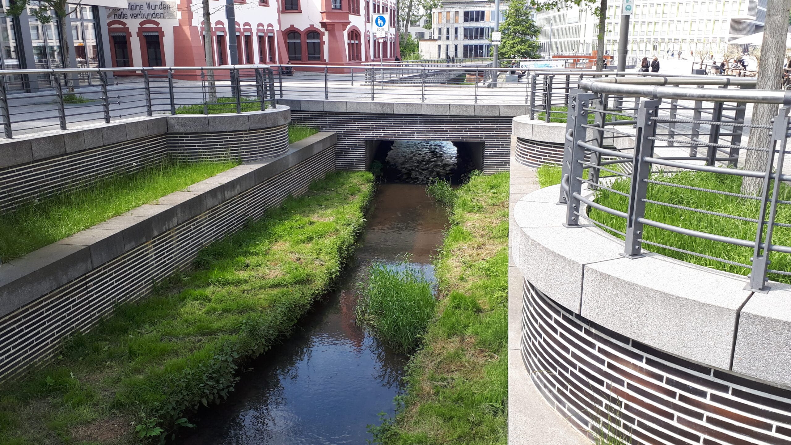
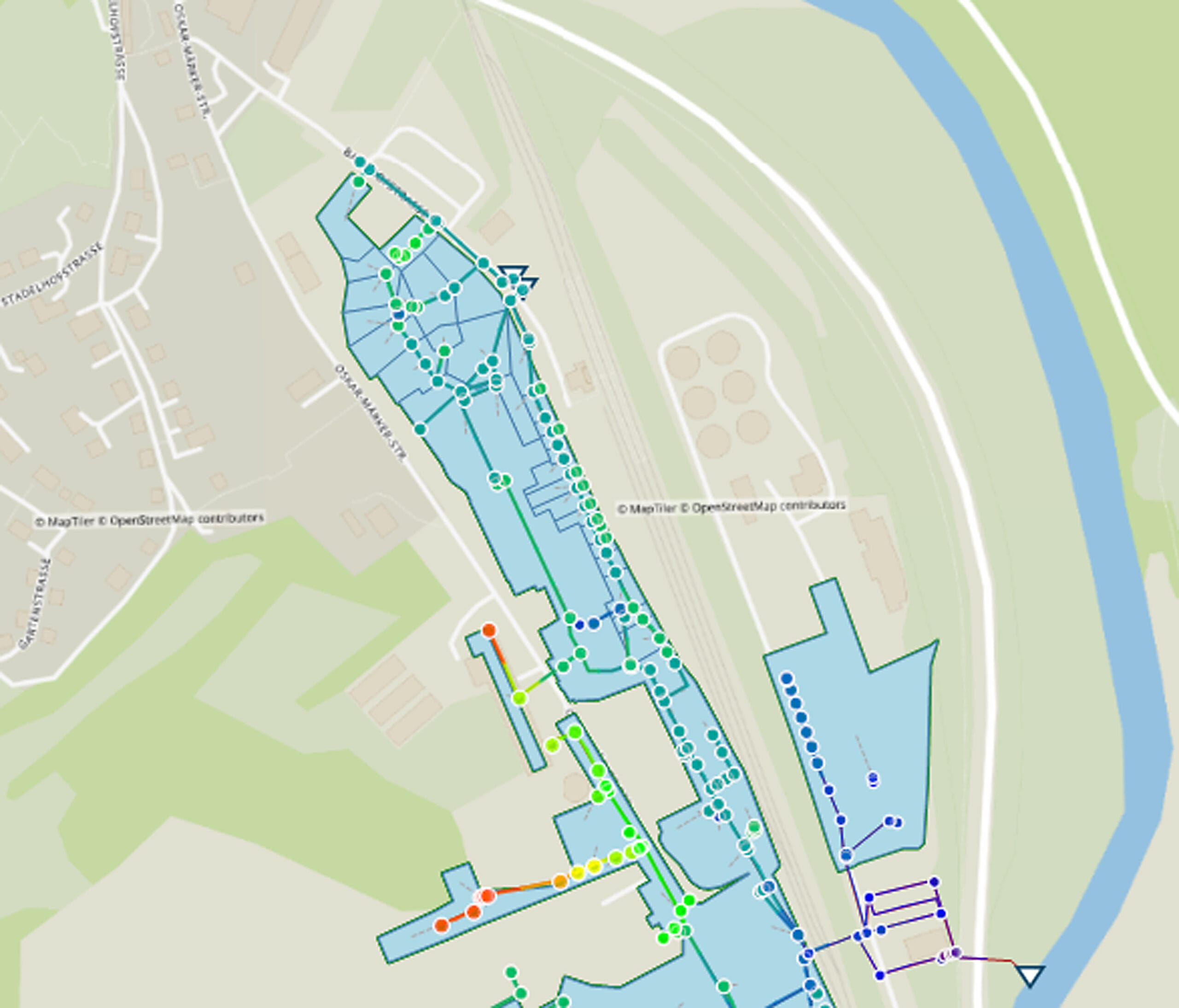
Sewer systems consist of a variety of elements, such as shafts and catchments, retention systems with throttled discharge, pumping stations and much more. All of these elements affect the water run-off with respect to both time and volume. A complex system quickly arises in which even professionals are scarcely able to estimate the sewerage load easily.
Before you’re up to your neck: Create an overview
A computer-supported sewer system simulation is needed to depict and examine the interplay of the individual elements of a sewer system or to assess the fundamentals of the sewer system. To do this, all the elements of a sewer system are measured, their hydraulic effect described and then stored in a database: the sewer register. The flow in the sewers can then be simulated by software. Managing even the most complex sewer system becomes manageable.
Inspection and vulnerability analysis
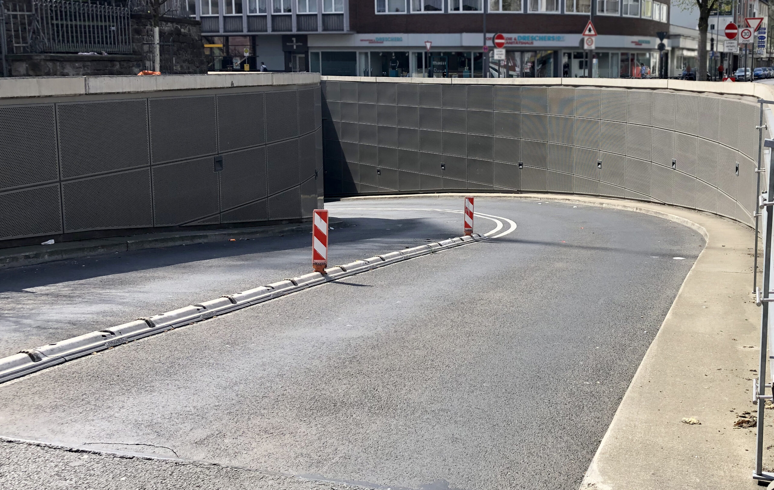
An initial estimation of potential hazards from heavy rain and flash flooding is made by inspecting the municipal territory together with representatives of the relevant authorities. Here, the focus is on questions regarding the starting points of the last floods and the location of flood zones and sites where the greatest damage occurred. If there have been no intense rainfall events in recent years, then, for example, historical records can be used and witnesses from that time questioned.
Along with the topographical conditions, the development structure, the building situation and the infrastructural facilities can be examined during the inspection, since these are critical for the water’s flow paths and damage potential.
The results of the inspection serve as the basis for further steps for creating a complete hazard assessment.


